


OmnesViae: The Roman Empire’s Google Maps Reimagines Ancient Roads for Modern Design Lovers
What if you could trace the Roman Empire’s grand infrastructure with the ease of a smartphone map? OmnesViae, a browser-based route planner built from historical sources, is doing exactly that—turning ancient roads into an interactive digital experience that feels surprisingly current for anyone interested in luxury architecture, design, and the built legacy of Rome.
More than a novelty, OmnesViae reveals how Roman mobility shaped cities, landscapes, and enduring ideas of connectivity. For readers drawn to refined design and architectural history, the platform offers a fresh way to understand how one of the world’s most influential civilizations engineered movement, trade, and urban elegance at scale.
OmnesViae Brings Ancient Roman Infrastructure Online
Created by Dutch engineer René Voorburg, OmnesViae reconstructs the Roman Empire’s road network using academic research, historical cartography, and open-access data. Users can enter two ancient or modern place names and instantly see a calculated route across the Roman world, complete with intermediate stops and estimated travel time.
The project draws primarily on the Tabula Peutingeriana, a medieval copy of a Roman map showing the empire’s official road system, known as the cursus publicus. Because part of that map was lost, additional western-route information comes from the Antonine Itinerary, another key Roman-era source. The tool also incorporates scholarship associated with historian Richard Talbert and location data from the Pleiades Project.
In practical terms, OmnesViae works much like a historical navigation platform:
- Enter a starting point and destination
- View the fastest route based on ancient recorded distances
- See the path highlighted on a modern map
- Review stopovers between major settlements
- Estimate travel duration on foot or horseback
The code and database are available openly, which gives the project unusual transparency and scholarly value.
Why OmnesViae Matters for Luxury Architecture and Design
At first glance, a Roman route planner may seem like a niche history tool. But for architects, interior designers, and luxury tastemakers, OmnesViae opens a compelling window into the infrastructure that supported Roman villas, public baths, civic forums, and monumental urban planning.
Roman roads were not merely functional lines between cities. They were instruments of order, prestige, and imperial identity. Their precision influenced where settlements grew, how goods circulated, and how architectural ideas spread across Europe and the Mediterranean.
The design intelligence behind Roman roads
Roman roads reflected values that still resonate in high-end design today:
- Durability: built for longevity with advanced engineering methods
- Clarity: direct routes and legible systems of movement
- Material sophistication: carefully layered construction and stone finishes
- Spatial hierarchy: connections between capitals, regional centers, and local stops
- Integrated planning: infrastructure supporting architecture, commerce, and culture
For luxury architecture audiences, that legacy matters. The Roman world excelled at combining beauty with utility—an ideal still visible in contemporary estates, hospitality design, and heritage-inspired interiors.
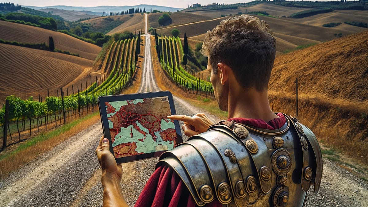
How OmnesViae Lets You Travel Across the Roman World
One of the most fascinating aspects of OmnesViae is how it translates ancient place names into a usable modern interface. Enter Madrid and Milan, for example, and the system identifies them as Miaccum and Mediolanvm, then maps significant stops along the route. Early on, it highlights Conplutum, now Alcalá de Henares, while later stages include Avgvsta Tavrinorvm, today’s Turin, and Placentia, now Piacenza.
According to the platform’s calculations, that journey would have taken about 43 days across 1,500 Roman miles. The contrast with modern travel is striking: the same broad route can now be completed in hours by car or in far fewer days on foot using present-day roads.
That comparison does more than satisfy curiosity. It underscores the ambition of Roman planning and the sheer scale of a network that helped unify an empire. OmnesViae makes those connections visible in a way that static textbooks rarely can.
A valuable tool for heritage-minded creatives
For professionals and enthusiasts in luxury design fields, the platform can inspire:
- Contextual research for Roman-inspired architecture and interiors
- Travel planning around ancient sites and historic urban corridors
- Design storytelling for properties referencing classical heritage
- Landscape ideas rooted in processional routes and spatial sequencing
- Cultural interpretation of how movement shaped elite living in antiquity
The Growing Appeal of Digital Roman Mapping
OmnesViae is part of a broader movement to digitally reconstruct the Roman world. Other mapping initiatives examine travel costs, seasonal variables, and the exact physical course of surviving roads. Together, these projects are reshaping how historians, travelers, and designers interact with antiquity.
What sets OmnesViae apart is its accessibility. It works in a standard browser, including on mobile, and presents complex historical information in a clean, intuitive format. Voorburg has also updated the platform significantly, rewriting the earlier version and adding AI-supported translations and illustrations to improve usability.
This matters because the democratization of historical tools changes who gets to engage with architectural heritage. No longer confined to academic archives, the Roman road network can now be explored by anyone—from scholars to design studios to owners of heritage properties seeking deeper narrative context.
From Ancient Routes to Modern Luxury Inspiration
The elegance of Roman civilization was never limited to columns, mosaics, or marble-clad interiors. It also lived in systems—in roads, logistics, movement, and the choreography of space across vast territories. OmnesViae captures that hidden layer of Roman sophistication and makes it newly tangible.
For those passionate about luxury architecture, luxury design, and luxury interiors, the site is more than a map. It is a reminder that great design begins with connection: between places, materials, people, and ideas. OmnesViae shows how the Roman Empire built those connections with extraordinary ambition—and why that legacy still shapes the way we imagine timeless design today.